Natural
Using old Maps and Statilite images I have maped natural features such as Wells, Springs, and Creeks.
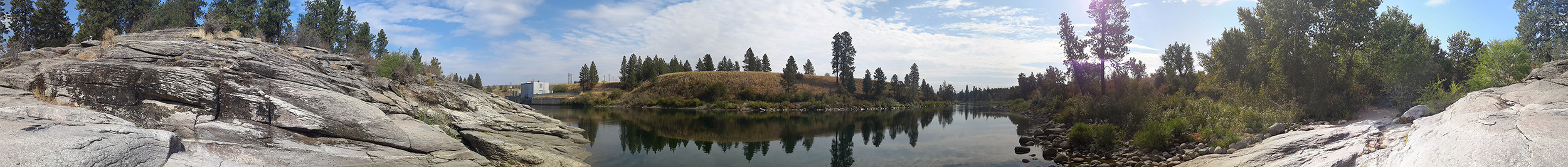
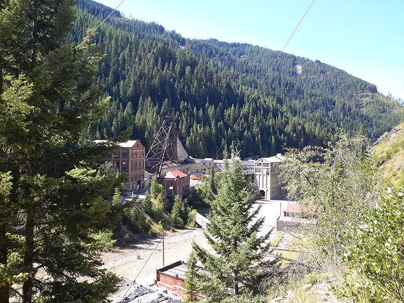
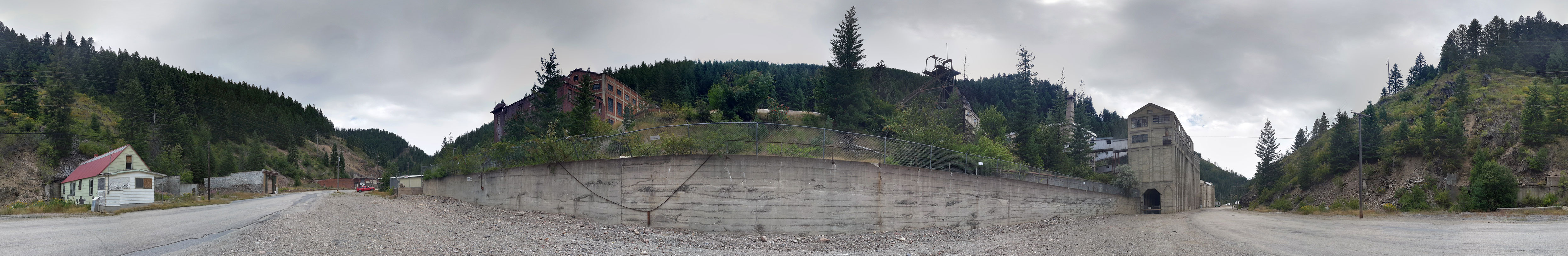
I have mapped natural features and places in north Idaho and Washington.
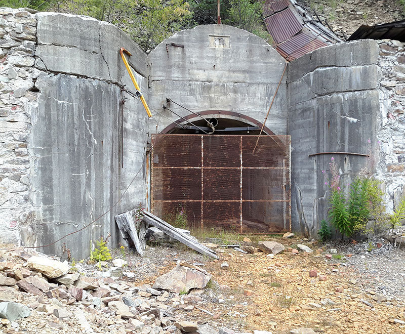
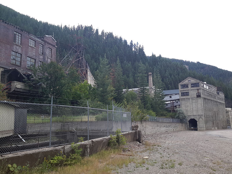
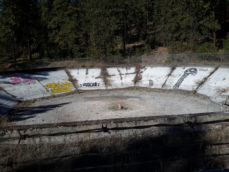
One of my projects was completing a map of the trails on Mount Baldy, also it's man made and natural features
such as quarries and cell phone towers.
N47 ° 40' 54.00", W117 ° 13' 27.00"
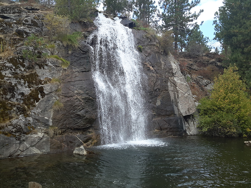
N47° 39' 4.614", W117° 17' 44.682"
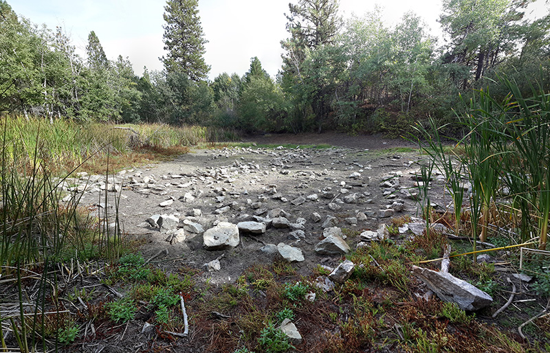
N47° 38' 28.722", W117° 27' 55.518"